Your building department publishes a short list of numbers that governs nearly every structural decision in your house. Your designer, your engineer, your truss supplier, and the plans examiner all work from it. To everyone else it reads like code.
Here is the translation, in things you can picture.
One note before we start: the City of Twin Falls and Twin Falls County publish different numbers. Not all of them, but enough to matter, and a parcel near the edge of town can fall either way.
Criterion | City of Twin Falls | Twin Falls County |
|---|---|---|
Ground snow load | 15 psf | 30 psf |
Minimum design roof load | 25 psf by ordinance | not published |
Wind speed | 115 mph gust | 115 mph gust |
Wind exposure | B, or C in some areas | C |
Seismic design category | B | C |
Frost depth | 24 inches | 24 inches |
Winter design temperature | 2°F | 0°F |
Presumed soil bearing | 1,500 psf | 1,500 psf |
Snow load is a weight, not a depth
This is the one people get wrong most often.
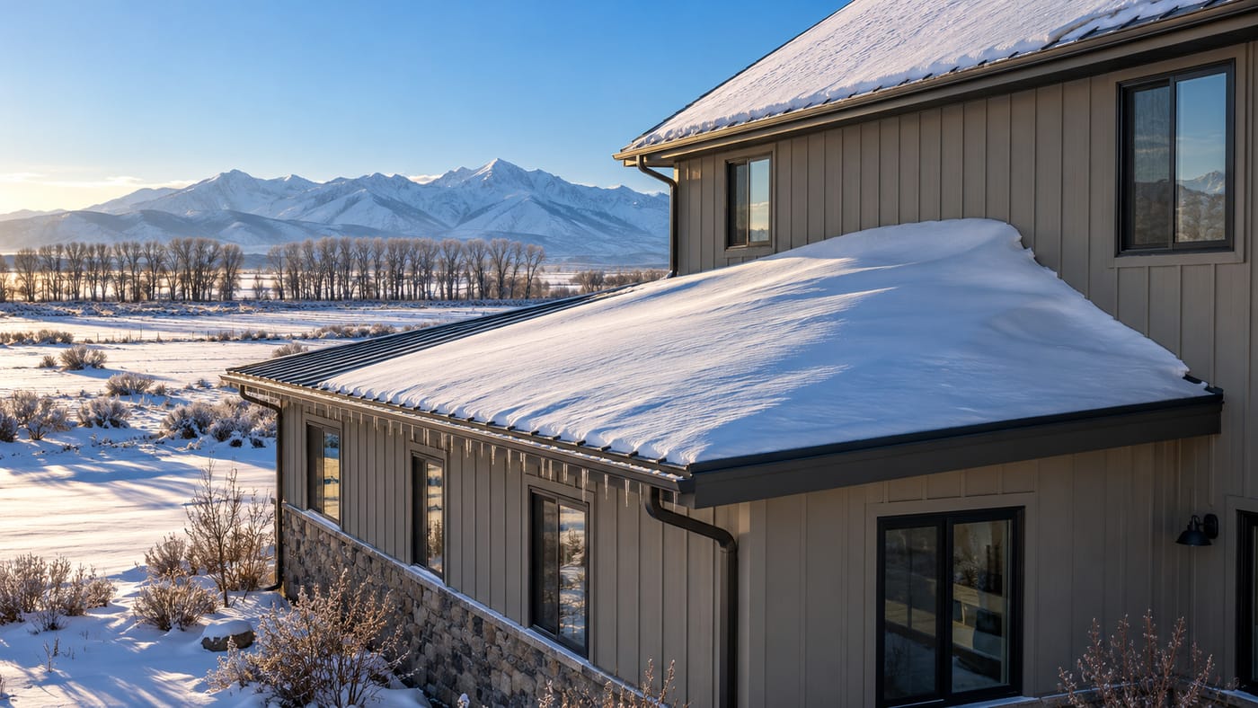
Snow load is measured in pounds per square foot. It describes what the snow weighs, not how deep it is, because snow density varies enormously. Two feet of dry powder and two feet of wet settled snow are completely different problems for a roof.
Using the conversion from the University of Idaho's statewide snow load study:
Load | Settled snow, roughly | On a 2,000 sq ft roof |
|---|---|---|
15 psf (City) | about 17 inches | 15 tons |
25 psf (City roof minimum) | about 24 inches | 25 tons |
30 psf (County) | about 26 inches | 30 tons |
Fifteen tons versus thirty tons. That is why it drives real structure: deeper rafters, heavier trusses, different spans.
It is not a normal winter. It is a 50-year value, roughly a 2 percent chance of being exceeded in any given year. Most winters will be nowhere near it.
And ground snow load is not roof snow load. The roof figure comes from the ground figure adjusted for exposure, heating, and roof slope, which usually produces a smaller number. That is why the City sets a 25 psf floor underneath it by ordinance.
115 mph wind is a gust, and force scales with the square of speed
Two things make this number confusing.
It is a 3-second gust, not a sustained wind. A sustained 115 mph wind here would be historic. The gust is an assumption about the worst moment in the life of the building.
Pressure scales with the square of speed, which is what makes it meaningful:
Compared with | 115 mph carries |
|---|---|
a 50 mph gust | about 5.3x the pressure |
a 70 mph gust | about 2.7x the pressure |
a 90 mph gust | about 1.6x the pressure |
So the jump from a windy afternoon to a design event is not incremental.
Exposure matters more than most people expect. B is sheltered suburban or wooded terrain, C is open country. Same wind speed, meaningfully different design pressures.
Frost depth is 24 inches because water expands
The simplest number on the list.
Water expands about 9 percent when it freezes. Soil holds water. When the ground freezes it swells, lifting whatever sits in that zone, then drops it unevenly on the thaw. That cycle is frost heave, and it will crack a foundation over a few winters.
So footings bear below the freeze line, which here is 24 inches in both jurisdictions.
1,500 psf soil bearing is an assumption, not a measurement
This one is widely misread, because the number sounds like a fact about your lot.
The code publishes presumptive bearing values by soil type. Crystalline bedrock is 12,000 psf. Sandy gravel is 3,000. Clay and silt soils are 1,500, which is the bottom of the table.
When a jurisdiction says design to 1,500 psf absent a soils investigation, it is saying: assume the weakest soil until somebody proves otherwise.
That has a direct cost consequence, because footing width is load divided by bearing capacity:
If your soil actually tests at | Footing width needed |
|---|---|
1,500 psf | 100% |
2,000 psf | 75% |
3,000 psf | 50% |
That is the case for a soils report on the right project. Prove you are on gravel and your footings can be half as wide.
The winter design temperature is not the record low
People see 0°F and assume it is the coldest it gets. It is not.
The City lists its figure as 2°F at 99 percent dry bulb, and that phrase is the definition. It is the temperature your location stays above for about 99 percent of the hours in a year. Roughly 88 hours a year are colder, based on long-term averages rather than any single cold snap.
It exists to size heating equipment. A furnace sized for the record low would be wildly oversized for the other 8,672 hours of the year, and oversized furnaces short cycle, handle humidity poorly, and are uncomfortable.
The County publishes 0°F and the City 2°F. Two degrees makes no practical difference to how a house performs. It reflects different source data.
Seismic category B or C is less dramatic than it sounds
The categories run A through F. The City publishes B for IRC structures, the County publishes C.
The practical difference between the two is mostly about what has to be braced, not whether the structure is adequate. Moving from B to C, architectural components lose an exemption, and mechanical and electrical components keep theirs only under narrower conditions. Cladding, ceilings, and partitions that needed no seismic restraint under B may need engineered restraint under C.
The specific thresholds belong to your engineer and the code edition your jurisdiction adopted.
What to ask your builder
- Is my parcel City or County, and which design criteria apply?
- What snow load, wind speed, and exposure category are my plans engineered to, and where is that stated on the drawings?
- Is a soils investigation worth it on this lot, and what would it change?
- Does anything in my design fall outside the prescriptive tables and need engineering?
And remember what kind of numbers these are. They are conservative design assumptions with margin built in, not forecasts. The house is not being built for an average Tuesday. It is being built for the worst day in fifty years.
Building in the Magic Valley?
We build custom homes, additions, ADUs, shops, and remodels across Twin Falls, Jerome, Kimberly, Buhl, Filer, Burley, Rupert, and unincorporated Twin Falls County.
We will tell you which jurisdiction your parcel falls in, what your plans are designed to, and what any of these numbers actually changes about your house. If a soils report would save you money on footings, we will say so.
We are a registered Idaho contractor, RCE-65510, insured and warrantied.
Tell us about your project → or call (208) 731-1729
Design criteria above are published by the City of Twin Falls and Twin Falls County and are current as of this writing. Snow depth conversions use the Rocky Mountain Conversion Density from the University of Idaho's statewide ground snow load study and are approximate. Wind pressure comparisons illustrate how pressure scales with speed and are not design values for any building. Structural design is the responsibility of the designer or engineer of record for your project.
Frequently asked questions
Why do the City and County publish different snow loads? The City is a single point at about 3,734 feet. The County covers a much larger area with more elevation variation, so its figure is more conservative. The published value has also come down over time as the statewide data improved.
Would a soils report actually save me money? Possibly. Footing width is load divided by bearing capacity, so soil testing at 3,000 psf needs about half the footing width that 1,500 psf requires. On the right lot that is real money, and on the wrong lot it tells you before the pour rather than after the cracks.
My parcel is right at the edge of town. How do I find out which applies? Ask the department that will issue your permit, before anyone draws anything. Snow load, wind exposure, and seismic category all change at that line, and a plan designed to one set of numbers is not automatically approvable under the other.